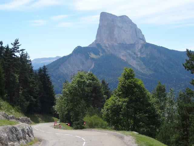
The Col d'Allimas certainly qualifies for its own entry. Sitting just east of the easternmost ridge of Vercors, and just north of Mont Aiguille (pronounced 'aygwee', roughly), access is from the busy D1075-E712, which joins Grenoble and Gap. (This isn't a road for the faint-of-heart, as it carries quite a bit of fast-moving heavy traffic, though it is wide enough for safe passing, and does have some sections of cycle lane.) You can make a circular route by using the back roads between Clelles and Monestier-en-Clermont, but some main road will be needed to close the loop.
Not being on Vercors itself, this is a proper col with roughly 700m of ascent from the Monestier-de-Clermont or St-Michel-les-Portes ends, though it's not well signposted or with definitive starting points either end. The km markers don't give distance to the col either, so if you're pacing yourself, it's worth doing some homework with the map.
I did the loop anticlockwise on this occasion, which gives a dramatic revelation of Mont Aiguille at the col, but I think I'd prefer it the other way round, with a steep ascent and gentle descent. Coming from the north you follow the Gresse, alternately wide valley and narrow gorge. After Gresse-en-Vercors the road becomes noticeably narrower, but it's a short way to the col by then. The descent south is steep and twisty, with some uphill at La Bâtie, and a dramatic gorge section. This is another reason I think it would be a more satisfying ascent from the south.
The pictures tell the story from shortly before the D8A crosses the Gresse for the first time, and finish just before the main road near St-Michel-les-Portes .


No comments:
Post a Comment